Know your location, and you won’t waste time in an emergency trying to figure out where you are.
Photo: author
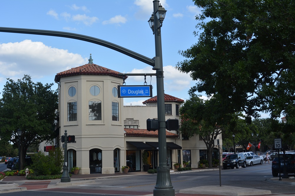
The streets were filled with all sorts of distractions to throw my situational awareness off: street performers, drunk tourists, and let’s not forget that New Orleans has hands down the best people-watching you can ever experience! So there I was, keeping a sharp eye out, enjoying the sights and sounds. But as I was walking down a less popular side street a few blocks off the main drag, it dawned on me that I really didn’t know exactly where I was. I knew I was in the French Quarter a few blocks down from Bourbon Street … but not an exact address.
Why was that such a big deal for me? Well for one, if I had gotten into trouble and needed an ambulance or the police, I had no idea where to send them. I couldn’t just say, “Ya know, that bar on the corner” to the 911 operator. Every street corner had a bar! There wasn’t a street sign, just a street light on that particular block. I headed back to Bourbon Street, bellied up to the first bar I came to and calculated my exact position using my cell phone’s GPS app. After figuring out all the cool tricks the GPS app can do, I started tracking myself and occasionally stopped to pinpoint the address where I was. I made do with this until I got back to the hotel that evening.

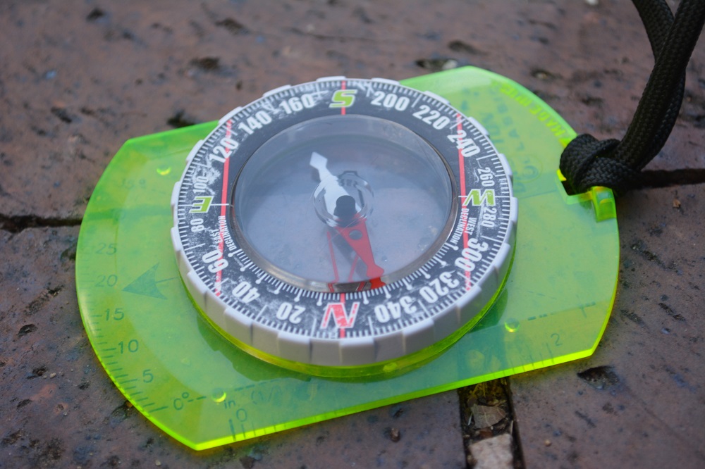
I always carry a compass with me when I’m out in the woods, on the range, or in a strange new city.
Photo: author
Compass
As you can tell, it doesn’t take long for some folks to get turned around or lost. I’ve had plenty of both day and night land navigation courses in the U.S. Army. Whether I’m on one of the ranges back home that’s out in the country or hiking in the mountains, I wear a compass around my neck and tucked under my shirt. It becomes part of my EDC for that environment. Like any piece of equipment, you must know how to properly use it. There are other means of finding your way as well. Knowing how to maximize your smartphone’s GPS or map apps can either be helpful or downright confusing. My recommendation is to spend some time working with the phone app. There are several aftermarket apps and some work better than others. If you find one that you like, help your buddy out and leave a comment below on which one works best for you.
GPS
Another option is an actual GPS unit from companies like Garmin, Magellan, and Suunto. GPS units come in all shapes, sizes, and prices, and offer a wide array of features. These devices do require a bit of practice, but are great tools. It may take anywhere from a couple of seconds to a few minutes for the GPS unit to calibrate by linking up with satellites. During an emergency, that can eat up time you don’t have or prevent you from doing something else like patient assessment or bandaging someone.

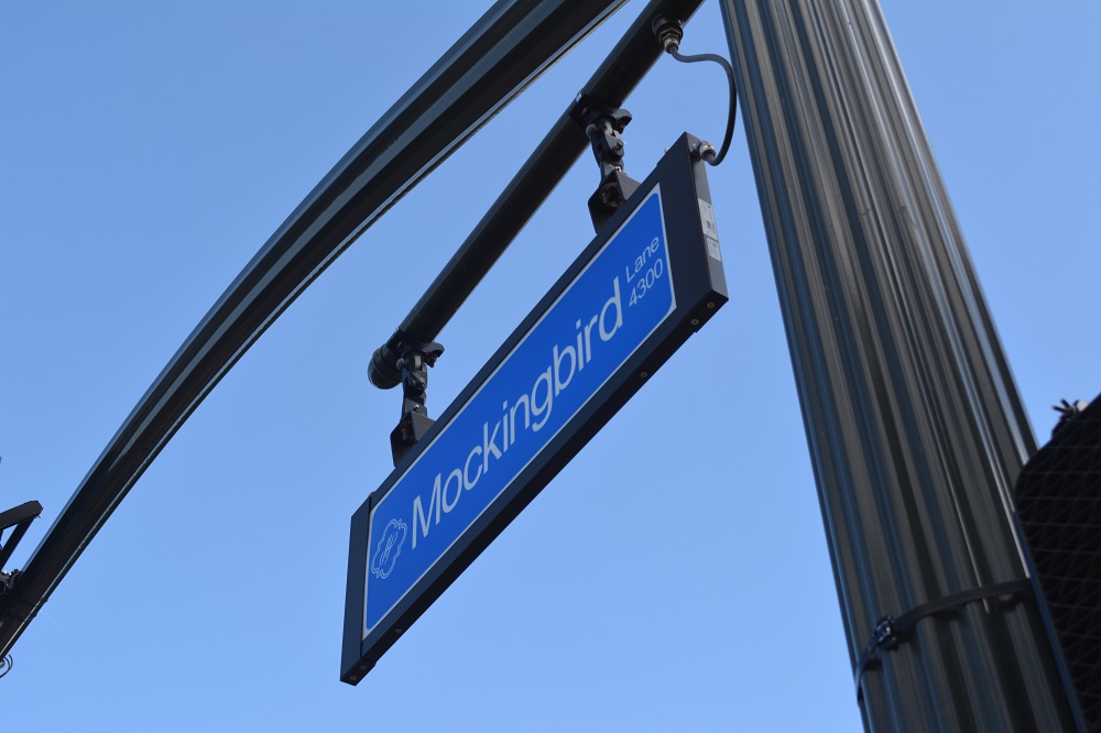
Not only should you pay attention to the street name, but the block number is also important to know. For example, this is the 4300 block of Mockingbird Lane. Photo: author
www.personaldefensenetwork.comTips ‘n’ Tricks
With smartphones, GPS systems, compasses, and old school road maps, there are a few tricks you can use to help guide public safety officials to your location. Using landmarks such as a major shopping center or which corner of a town square you’re at can be helpful to a 911 operator. Terrain features like a body of water (local lake/pond/river/creek) or in between two hills down in a valley might be useful if you don’t know the area well. I’ve even told a 911 dispatcher to send an ambulance to the grocery store near the intersection of two major streets because even though I’d been going to that same store for 10 years, I didn’t know its physical address. That worked and everyone turned out OK. The point is that I got complacent and expected others to know where I was and what was going on … during an emergency. You can sure bet I learned that store’s address after that experience!
Whether you are involved in a violent attack or a car wreck, knowing your exact location is very important. I recommend having at least two methods for finding your location at all times, especially considering that the national average response time for EMS to arrive at your scene is nine to 12 minutes. Take the time to figure out all those little buttons on your smartphone or GPS unit. You can even make it a game with your family members, a sort of scavenger hunt. That way they too know how to find their own location should the need arise. You can just as easily start keeping track of major cross-intersections of the streets and roads you drive on. They (EMS/fire/police) can’t help if they don’t know where to go.
In the comments section, be sure to share the methods and tools you use to find your location.

Before making your call, for iPhone users, and perhaps other smartphones, say "Where am I?", then make your call.
Before you leave familiar surrounding check your compass to make sure it points North!!!!! I have found that for whatever reason two of mine have "failed" over the years. I went to the local big chain sports store and checked several only to find out that a few of them did not point North!!!! Having a backup is a good idea!
Very useful information that I had not previously considered.
I found this very helpful and informative. I hadn't ever thought of carrying a "mini" field dressing kit.
I want to second and expand the comment about highway mile posts. They are invaluable in police, fire, and medical situations. In each state they increase either from west to east and from south to north, depending on which principle direction the particular highway runs. On divided highways like Interstate Highways, when calling for emergency assistance, it is also a good idea to also state in which directional lane the emergency is located. For example, there is a vehicle fire at MP 201 along Interstate 15 in the northbound lane.
There are several compass apps out there. After a small but tedious initial calibration, there apps work fairly well, utilizing GPS satellite data and having a decent sensor array whereas the Accelerometer can discern the magnetic field and compensate for magnetic north. Check 'em out....mine was free.I like free!
Thanks for mentioning this one! People get lost everywhere, not just in the woods! I have found the Gaia GPS app to be invaluable! Yes it can take up some storage space, and even eat into your battery life. (There are ways to minimize the battery drain.) However the options and use-ability are second to none!
New Orleans is crazy. The so-called "West Bank" is actually South and many roads follow the curve of the River. 5 stars for GPS, which usually works but not always.
For smart phones, the Google Map app is about the best in terms of navigation of roads and highways when you have cell service available. When there is no cell service, or when you are on foot and away from inhabited areas, the app Gaia GPS is a very good alternative. It allows you do download a variety of different map sets for using offline when there is no cell service or WIFI. And if you like to hike or hunt in the backcountry, it is about the best GPS app for smart phones that I have found.
When traveling by car I pay close attention to the mile marker signs and road markers.